Program Code
40420
Official Icon
Program Base URL
Description
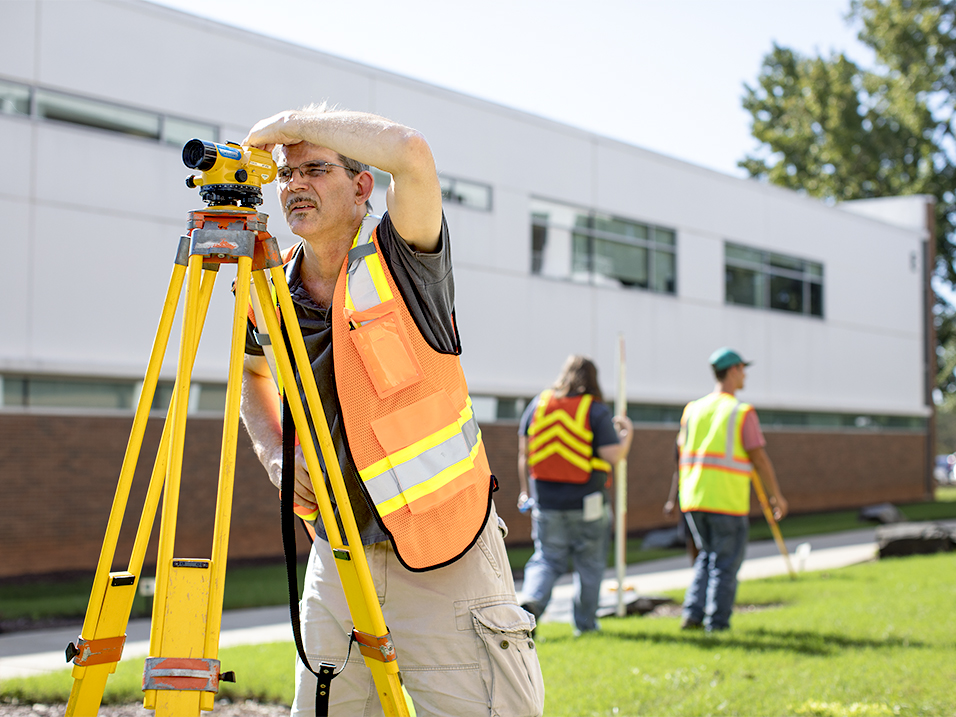
The Geomatics Technology curriculum provides education and training in surveying skills emphasizing boundary and topographic field work and mapping, site design and construction layout, GPS/GNSS systems and GIS data collection and integration. There are scholarship funds available for this program of study.
Related Division
Career Focus
A position as a survey crew chief, instrument operator, or office technician/CAD operator; involved in construction, GPS, boundary, and topographic surveying and mapping; employment in the surveying, engineering, or construction industry.
4 x 3 Image

16 x 9 Image
12 x 1 Image

Program Description
The Geomatics Technology curriculum provides training for technicians in the many areas of surveying. Surveyors are involved in land surveying, route surveying, construction surveying, photogrammetry, mapping, global positioning systems, geographical information systems.
Financial Aid Eligible
No, financial aid not available
Primary Contact
Beth Ihnatolya
Office Number
919-866-5334
Email Address
Salary Information
2023 Footer Column 1
2023 Footer Column 2
- Wake Tech Mobile App
- Help & Support
2023 Footer Column 3
- Connect
9101 Fayetteville Road, Raleigh, NC 27603
919-866-5000
919-866-5000
Translation
Wake Tech Community College | ©2025 All Rights Reserved.
Contact Us | Terms of Use | Privacy Policy | Campus Policies | Site Map
Contact Us | Terms of Use | Privacy Policy | Campus Policies | Site Map


